Project Description
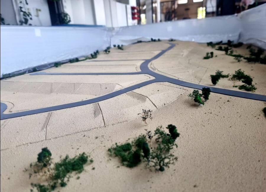
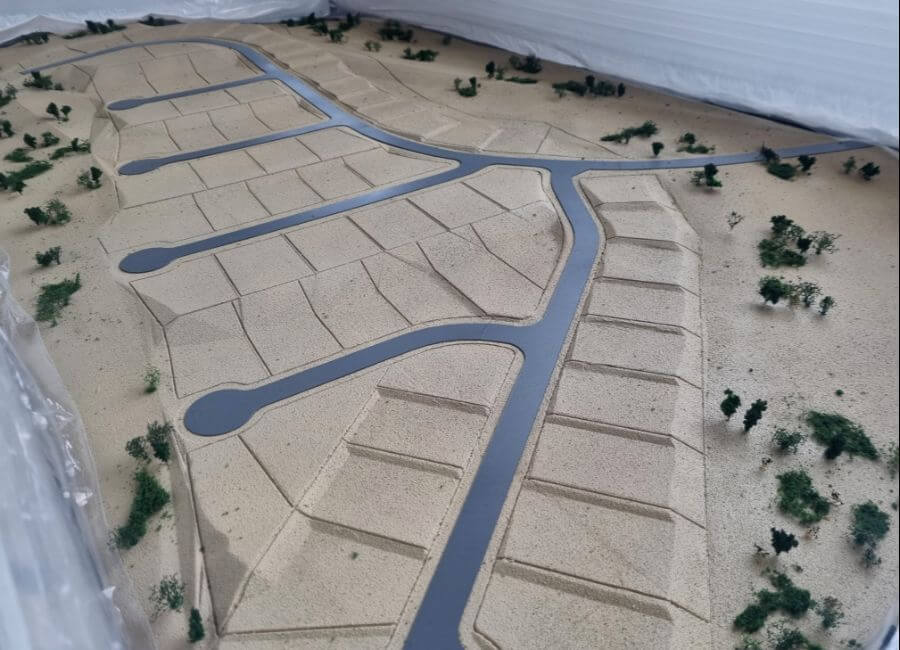
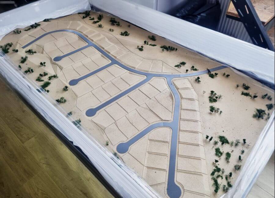
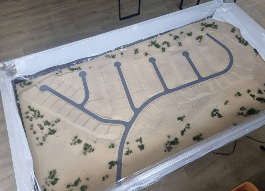

This is a subdivision planning model, also known as a masterplan scale model, that depicts a proposed residential development. The model is built to scale and includes several key elements to visualize the future community:
- Road network: The most prominent feature is the grey, curving road layout, which defines the main thoroughfares and cul-de-sacs of the subdivision.
- Residential lots: The land is divided into numerous rectangular plots, or lots, which are the individual parcels of land where homes will be built. They are arranged along the planned road system.
- Topography and landscaping: The base of the model is a sandy or tan color, representing the natural terrain. Small green clumps are scattered throughout, indicating existing or planned vegetation and landscaping, likely representing trees, shrubs, or bushes.
- Scale and detail: The model’s clean, minimalist design focuses on the essential layout and a rough approximation of the topography. The lack of detailed structures like houses or buildings suggests its primary purpose is to showcase the overall layout and land use plan to potential investors, planners, or stakeholders.
Overall, the model provides a tangible and easy-to-understand representation of the proposed subdivision before construction begins.