Project Description
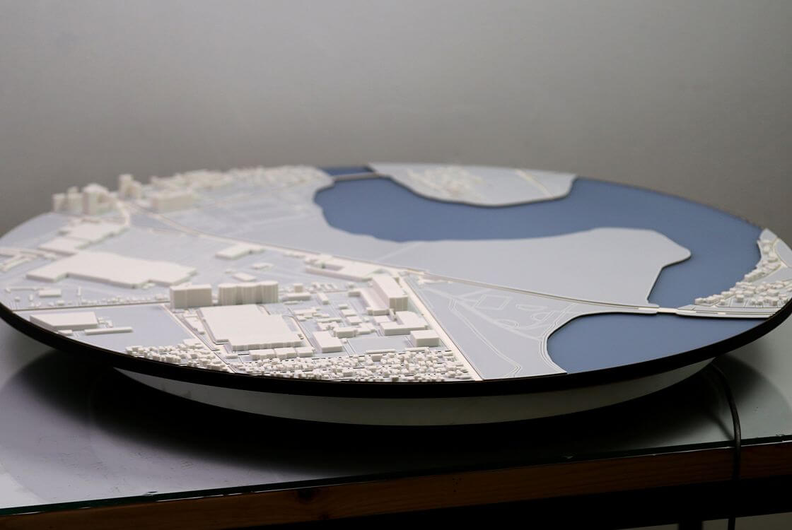
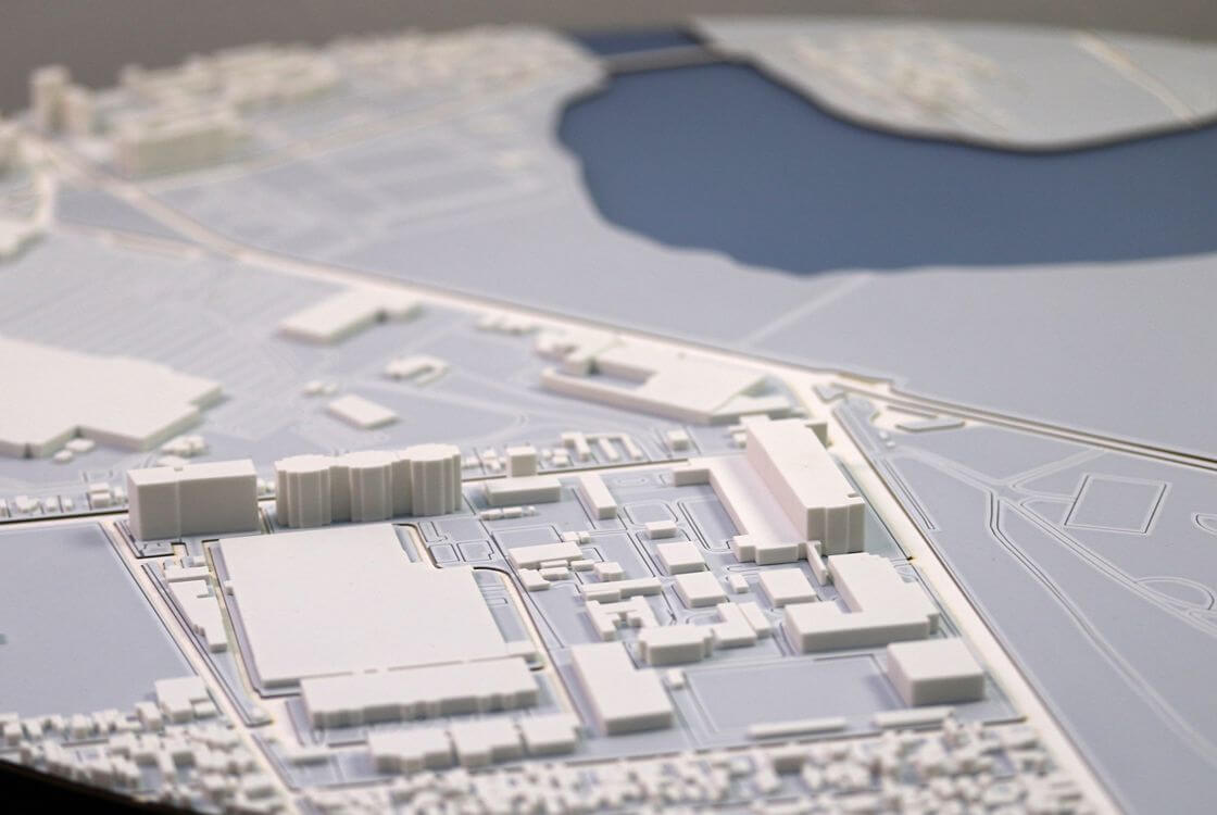
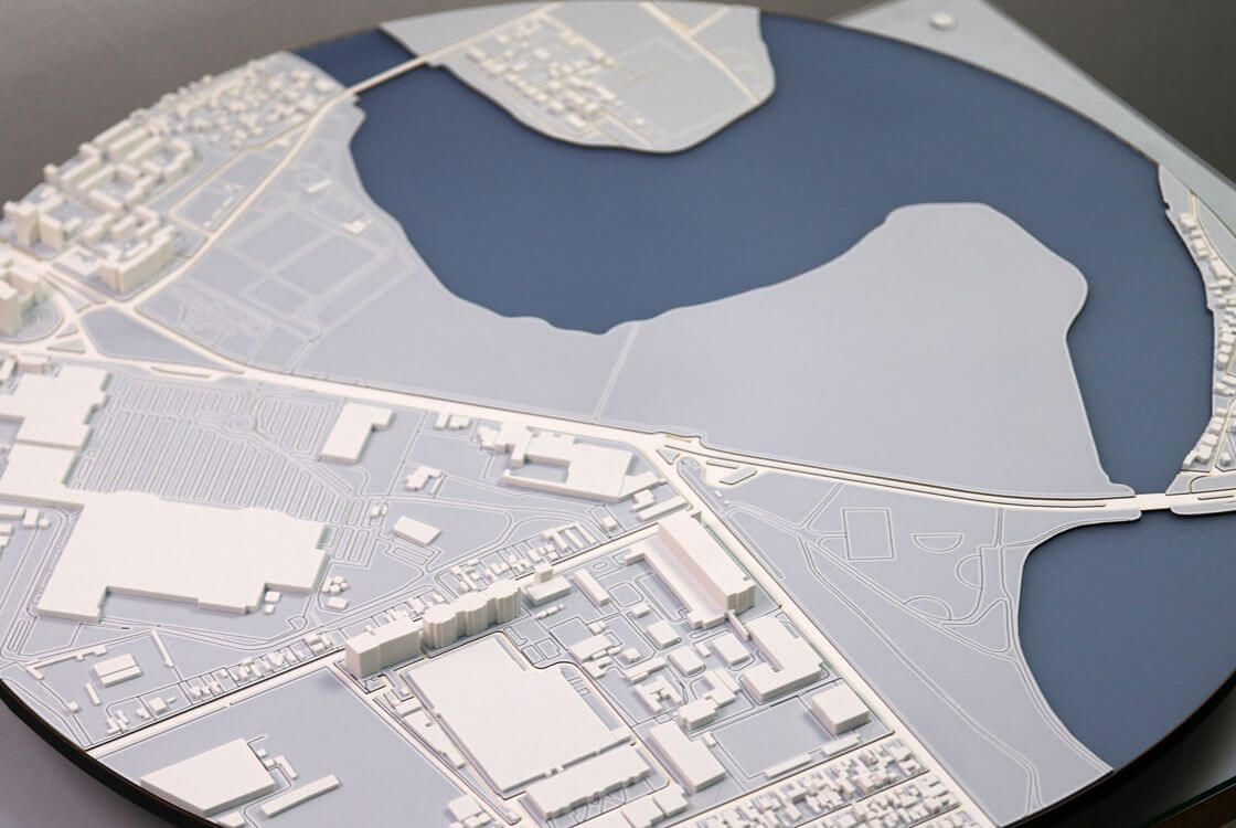
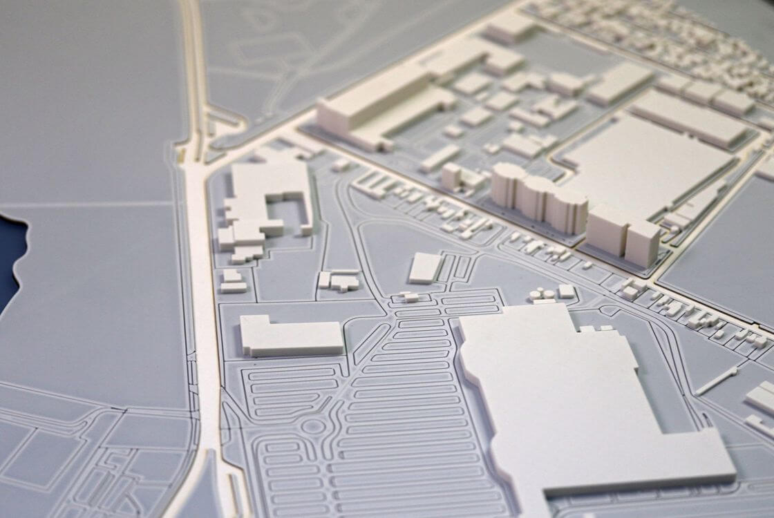
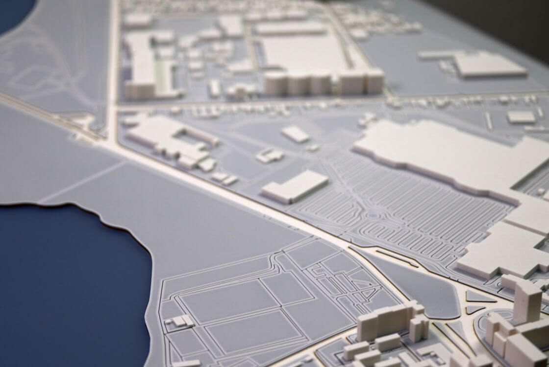
This architectural scale model presents a detailed representation of an urban area, illustrating the arrangement of buildings, road networks, open spaces and surrounding water features within a carefully planned urban environment. The model provides a clear overview of the area’s overall layout, showing how the built environment, transport infrastructure and landscape elements relate to one another.
The buildings are represented as simplified architectural volumes, allowing the distribution of structures, the density of development and the spatial organisation of the area to be easily understood. Roads, junctions and access routes highlight the connections between different parts of the urban layout, while the surrounding water features and open areas help define the site’s geographical context and overall configuration.
The model’s clean, schematic presentation places the emphasis on urban structure, spatial relationships and the integration of buildings with their surroundings, rather than on individual architectural details. This approach makes it particularly suitable for illustrating planning concepts, presenting proposed developments and communicating the broader vision behind an urban design project.
By translating a complex urban environment into a clear three-dimensional representation, this scale model provides architects, urban planners, property developers and other professionals with an effective visual tool for understanding the organisation of a site and the relationships between its key elements.