Project Description


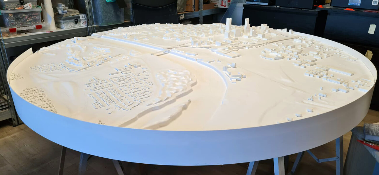


This architectural model captures the essential soul of Omaha, Nebraska, rendered in a crisp, monochromatic white that emphasizes its intricate urban tapestry. It is a powerful, tactile representation of the city’s relationship with its environment. The eye is immediately drawn to the shimmering band of vibrant blue, the mighty Missouri River acting as the city’s geographic anchor and defining barrier. On the far bank, the Downtown skyline rises like a cluster of sharp, crystalline forms, marking the heart of commerce and density.
Sweeping down into the foreground, the urban landscape softens into a vast expanse of intricate, low-slung blocks, depicting the residential neighborhoods that make up the rhythm of daily life. Connecting these worlds is a marvelous, complex web of highways and interchanges.
These ribbons of infrastructure bridges and ramps arc gracefully over the terrain, symbolizing the relentless flow of movement and connection that defines a modern metropolis. More than just a map, this model is a sculptural portrait of Omaha, revealing the delicate balance between the natural landscape, the quiet geometry of the suburbs, and the bustling energy of the core.
Architects, urban planners, and city officials often use these models to visualize and strategize urban development projects. The scale model allows for a comprehensive understanding of the city’s spatial organization, enabling stakeholders to explore potential changes, enhancements, or expansions in infrastructure, zoning, or public spaces.
The Omaha city map scale model is a meticulous and detailed representation of the city of Omaha in miniature form. It offers a scaled-down version of the city’s layout, showcasing its streets, buildings, landmarks, and topography with accuracy.