Project Description


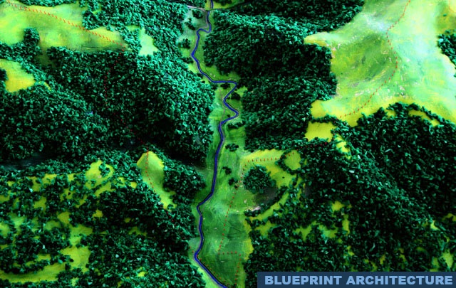


This topographic model presents a detailed representation of a mountainous landscape, capturing the natural flow and complexity of the terrain. The model highlights elevation changes, valleys, and ridgelines through carefully sculpted contours and textures. Dense forested areas are represented with rich green detailing, while open spaces and natural clearings create contrast and depth across the surface.
A winding river runs through the valley, enhancing the realism and illustrating how natural elements interact within the landscape. The composition reflects both the beauty and structure of real-world topography.
Designed for visualization and presentation, this model demonstrates the principles of terrain modeling, landscape planning, and geographic representation in a highly detailed and immersive format.
In addition, the model offers a clear understanding of spatial relationships within natural environments, making it a valuable tool for architectural planning, environmental studies, and educational purposes. The balance between artistic detail and technical accuracy allows viewers to explore the terrain from both a visual and analytical perspective.
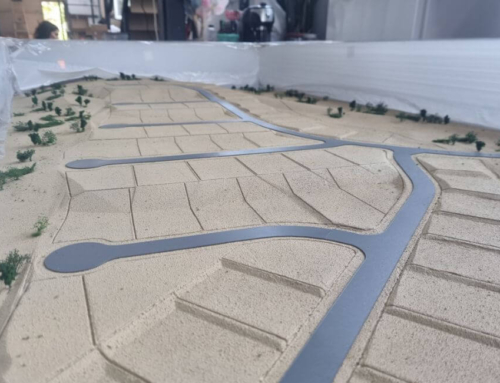
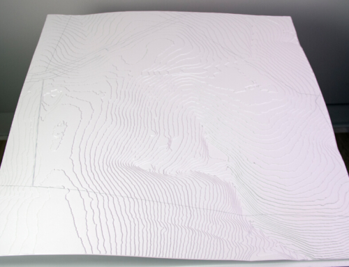
The model was made up of three parts which were then assembled at the destination to make the transport and handling easier. It will be used for educational purposes by students who want to organize hikes in the area, but also for more accurate identification of important landmarks, from mansions and tourist attractions to the flora and fauna of the region.